Start point: Upper Burbage Bridge car park
End point: Upper Burbage Bridge car park
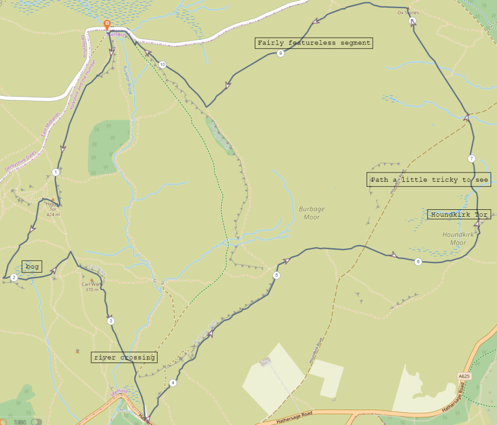
A loop route following the path from Upper Burbage Bridge to Higger Tor, then down in the direction of Winyards Nick but turn up towards Carl Walk, then down to Hathersage road and following the path up onto Burbage South. Before Burbage Rocks turning east across Burbage and Houndkirk moors, onto Houndkirk Tor then to Gods Spring, across Houndkirk road and up to Ox Stones. After Ox Stones across the moor to Burbage Rocks and back to the car park.
Distance: 10.5km
Difficulty: Easy
Rating: 4/5
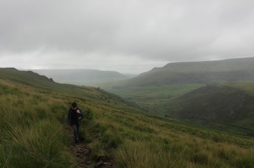
This one ended up being a bit of a strange hike, not because of the route itself. The weather was just extremely hot and quite muggy so we perhaps didn’t quite get the full enjoyment this route has to offer. We took it at an easy pace and just enjoyed the views, meandering across the moors and through the vast stretches of purple heather.
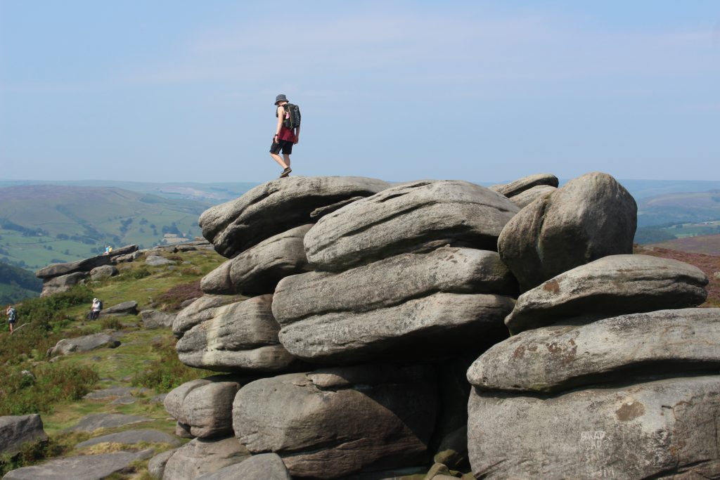
Starting at Upper Burbage Bridges car park, we took the path that led up to Higger Tor. Minimal navigation required for this first bit as Higger Tor is very obvious and the paths are easy to follow. Up on the tor we spent a few minutes exploring around the rocks and getting a few photos before finding our way down off the tor and striking a path south west. We followed this until we reached an outcrop of rocks then turned east and picked our way across a patch of bog towards Carl Walk.
Carl Walk isn’t particularly high so ascending it is easy enough. There seems to be some debate over exactly when the stone ramparts on Carl Walk were constructed. Some reports seem to suggest that they are prehistoric while others think they could have been built as late as 500AD. The general consensus is that the embankment is prehistoric, but the boulders forming the rampart-like enclosure are most likely Iron Age. It seems the site was most likely a refuge or temporary shelter of some description as there is no evidence of prolonged settlement there. It could also have been used for some kind of ceremonial use. From the top you have a good view of the valley and the surrounding tors and edges, so it definitely had a good strategic position if it was indeed used as some kind of fortification.
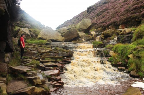
Descending from Carl Walk we followed a path towards the river. The crossing over the river isn’t too difficult and the track leading off towards the road is well maintained and gentle. There are paths cutting up the slope onto Burbage South from here so you can choose to follow the path all the way to the road and double back onto the edge or cut up onto the edge. It doesn’t make much difference in terms of time and distance.
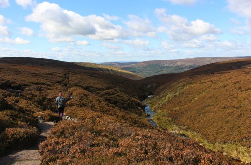
Following the path along Burbage South there are great views back across to Carl Walk and Higger Tor. The very purple heather definitely added to the general atmosphere, although because of the heat the haze across the land was dampening the majesty of the views a little. This was particularly apparent when we took a path eastward away from Burbage South and across Burbage Moor. From this path you would ordinarily have a clear view across to the southern suburbs of Sheffield, but with the haze the details of the distant buildings were much more blurred than they would be normally.
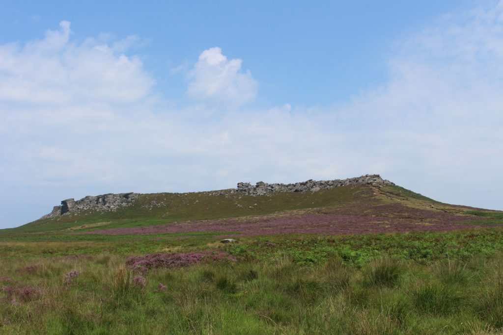
We made our way across Burbage Moor, crossed Houndkirk road and walked across Houndkirk Moor and stopped for lunch up on Houndkirk Tor. The views from here aren’t overly exciting and the tor itself isn’t particularly impressive, but it was very quiet. There were no people over in this area whereas around Higger Tor and Carl Walk it had been busier. In that regard it was pleasant to have the place to ourselves and we still had the acres of purple heather to look out across. After our bagels had disappeared we set off back towards Houndkirk road again in the direction of Ox Stones.
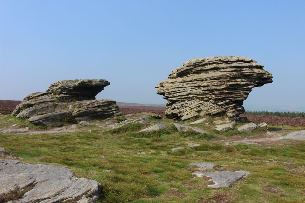
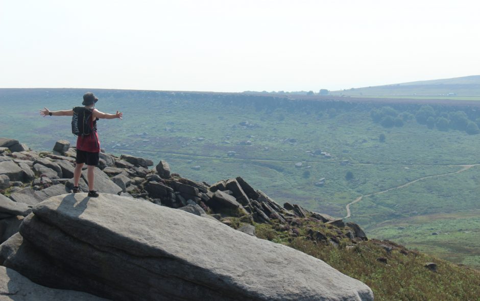
Ox Stones was soon visible across the heather and ferns. We kept following the path towards it, which ran alongside an old drystone wall. Ox Stones is a particularly interesting feature. The formation looks quite different to everything else in the area due to the way the rock is layered. There is a trig point here a little way along the path towards the woods, so it’s an easy one to bag while you’re there. After marvelling over this specific lump of rock for a few minutes we carried on, taking the path leading west back towards Burbage Rocks.
This last segment of the hike included just over a kilometre of fairly featureless moorland and we were getting increasingly lethargic by this point, so it was very much a case of putting one foot in front of the other. With the heat getting to us a little, it was probably a good thing that there wasn’t a whole lot to see. Trudging along as we were we would have missed any good views if there had been any. As we got closer to Burbage Rocks, Stanage and Higger Tor emerged from the heather in the distance and informed us that we were getting close to the car park. The last little bit of the walk joined us up with the path along Burbage Rocks, took us across Burbage Brook and back to the car.
A lovely walk touring around a number of interesting landmarks in the area and offering up some wonderful views at various points.
Thank you for reading! Be sure to check my other hiking routes, a new write up is published every Wednesday.
Find me in these social places