Start Point: Wessenden Head Road Car Park
End Point: Wessenden Head Road Car Park
A loop route with mostly easy to follow paths. One section features unclear path and difficult terrrain. Compass navigation is reccomended. A mixture of different scenery throughout the hike.
Distance: 17km
Difficulty: Intermediate
Rating: 4/5
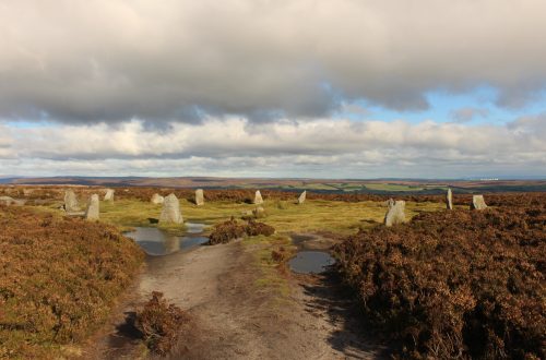
Our search for a Sunday adventure this week led us to the northern edge of the Peak District. We were looking for hiking routes that might be less well travelled in these socially distanced times. The likes of Kinder Scout and Mam Tor were likely to be busier, so we ventured into unfamiliar terrain.
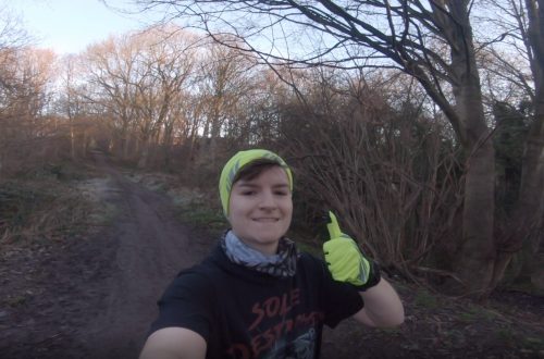
We reached Wessenden Head Road car park at around 09:40 after a roughly 40 minute drive from Sheffield. There were a handful of cars scattered between the car park and the burger van that was sat on the side of the A635, but no other walkers in sight. It seemed that getting out earlier in the day would pay off and we’d avoid any crowds as we’d hoped.
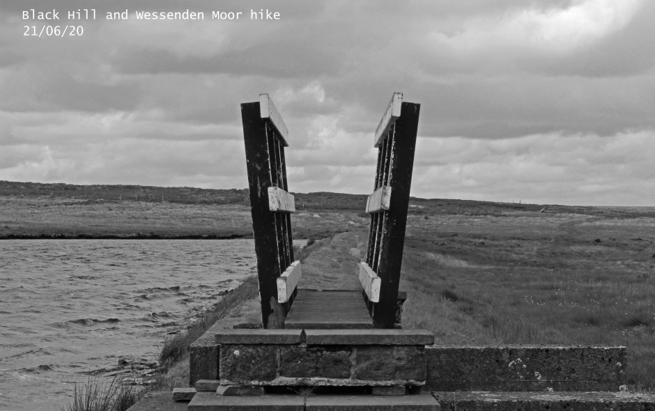
Walking down to the A635 from the car park we quickly identified where the Pennine way led off towards Black Hill and made our way towards our first obstacle of the walk, Dean Clough. In very bad weather it is recommended that walkers take a detour around Dean Clough as the water becomes very fast flowing and challenging to cross. Our crossing was manageable, I waded across and Greg found a point that was narrow enough for him to jump safely. The detour around Dean Clough is signposted and leaves the A635 a little further down the road in the direction of Holmefirth.
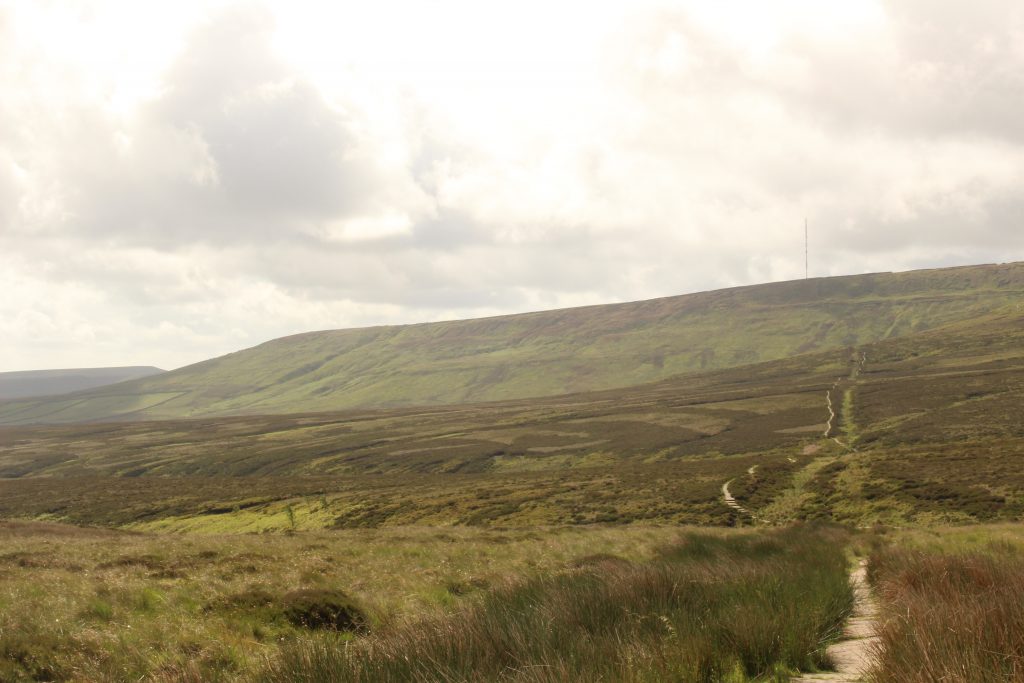
We continued to ascend towards Black Hill, being treated to some dramatic views of the moor as it rose up ahead of us. The path remained easy to follow as the Pennine Way is well paved and our ascent onto the moor required no real navigation. Once Black Hill trig point came into view, standing clear against the windswept heather, it was time to get the map and compass out.
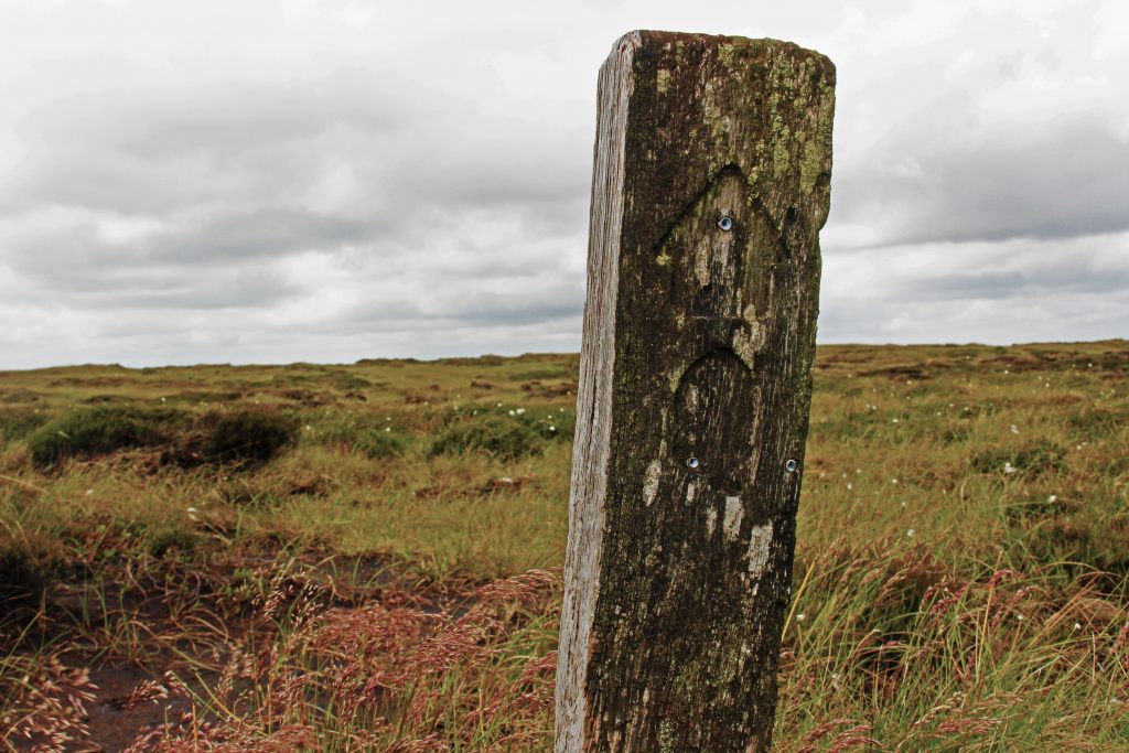
We needed to turn north west and navigate across the moor back in the general direction of the A635. There was little in the way of a clear path for significant portions of this section. We may have accidentally missed a path we were supposed to follow because we thought it was leading us in the wrong direction, but we used a compass bearing to find our way and eventually meet back up with places where the path became visible again.
Once the trail met back up with the A635 there was a very short segment of road walk to reach the start of the path that would lead us along the east side of Wessenden Moor and towards Black Moss reservoir. This section of the walk was the least interesting in terms of scenery, although after wading through the peat bog the easy to follow path and gentle descent was a welcome change. The easier pace allowed us to take our first snack break.
We made it to Black Moss reservoir we stopped for lunch and took in the general surroundings. We had encountered a few people on the trail walking the opposite direction to us. Our lunch spot was on the opposite side of Black Moss Reservoir to the Pennine Way and we could see that it was now starting to get busier. Everyone still seemed to be going the opposite diection to us, so we’d still be able to avoid the crowd.
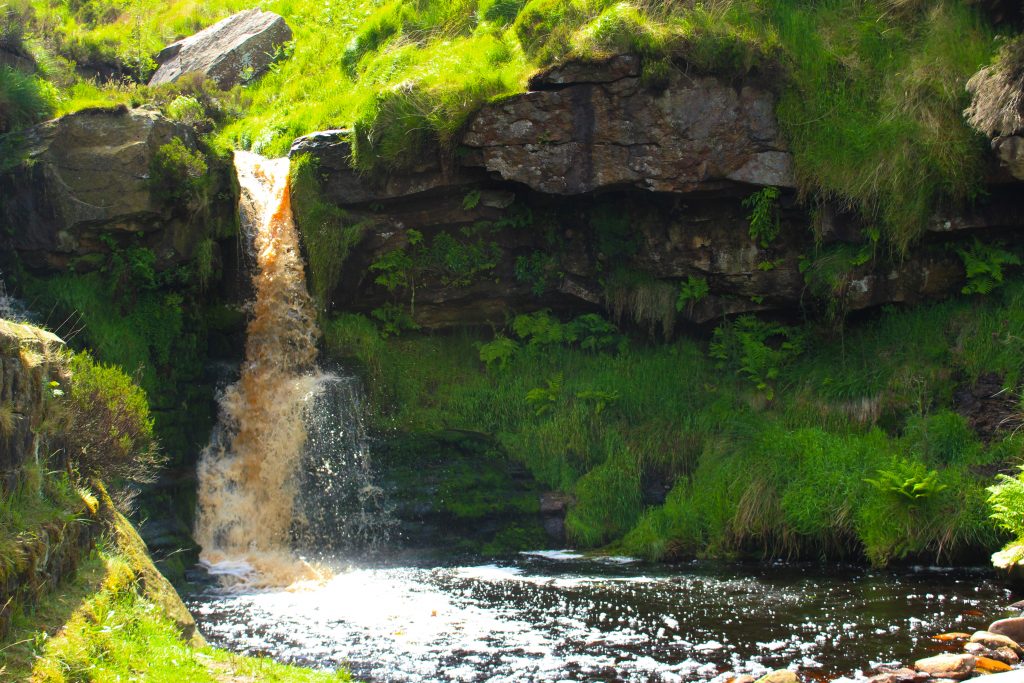
Once we’d joined back up with the Pennie Way it was more easy to follow path towards Wessenden reservoir. When we reached Blake Clough we ended up on what we thought was a diversion from the Pennine Way according to my three year old OS map, but after investigating online afterwards is seems that the official Pennine Way does now lead down Blake Clough. There is a stunning waterfall rewarding anyone who does walk down this little valley and a possible wild swimming location in the plunge pool below the waterfall. An adventure to return for on another day!
Once we’d passed the waterfall and walked along the other side of Blake Clough we crossed the end of Wessenden reservoir and began the final leg of the walk. This section featured a fairly gentle incline through the sheltered valley, a stark contrast to the wind blasted moor we’d spent the first third of the walk on. Once we reached Wessebdeb Head reservoir we followed the path away from it and made our way up to the car park. At this point it was starting to get fairly busy and there were plenty of cars parked in every available spot. Once again, I was glad we had got our walk started before 10am.
An interesting hike with varied scenery and options to make a full day of it if you stop for a swim by the waterfall. Moderately challenging due to the distance and the fairly unclear path heading northwest off Black Hill, but the overall elevation gain over the whole route only came to 398m according to Strava so the majority of the route is fairly easy walking. An enjoyable route that can be taken at a relatively relaxed pace and still be completed in good time with a map and compass on hand for the Black Hill section.
Thank you for reading! Be sure to check back for weekly hike reviews and other adventures!
Find me in these social media places