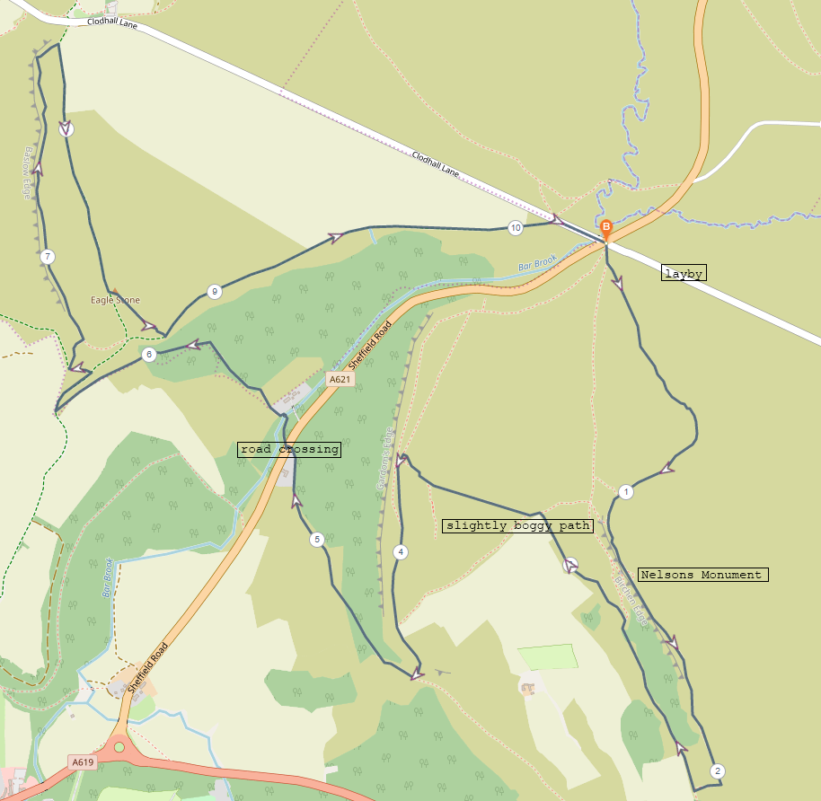
Start point: Clodhall lane and Sheffield road crossroads (there is a laybe close by on Clodhall lane)
End point: Clodhall lane and Sheffield road crossroads.
An enjoyable route taking in three edges and the views across to Curbar, as well as the points of interest along the way. Fairly easy going with a bit of closer map reading required between Birchen and Gardom’s edges.
Distance: 10.3km
Difficulty: Easy
Rating: 4/5
This week, an adventure into the White Peak area was on the menu. We haven’t spent a great deal of time in the White Peak yet, this being only our second hike in this southern part of the Peak District, so I was looking forward to exploring new places. These three edges are relative close together and easy to include in one route. The weather was a bit grey and misty, but the views were still lovely.
Thankfully there was space to park in the layby on Clodhall lane near the crossroads where we would be starting our walk. It seems this area doesn’t get overly busy so parking space appears to be easy enough to find. The path is easy enough to see from the road and leads off clearly towards Birchen edge.
The incline up onto Birchen edge was fairly gentle and after being up there for a couple of minutes a peculiar object came into sight. A strange vertical installation was visible standing proudly on the edge. When we got closer we were able to read the plaque attached to it and discovered that this object is Nelsons Monument and was erected in 1810 in honour of Lord Nelson. It is made of Gritstone and stands around 3m tall. One the rocks just back from the edge the words ‘Victory’, ‘Defiance’ and ‘Royal Sovereign’ are carved clearly into the rocks, presumably as a part of the monument.
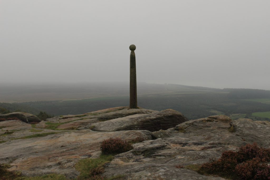
Nelsons mounument 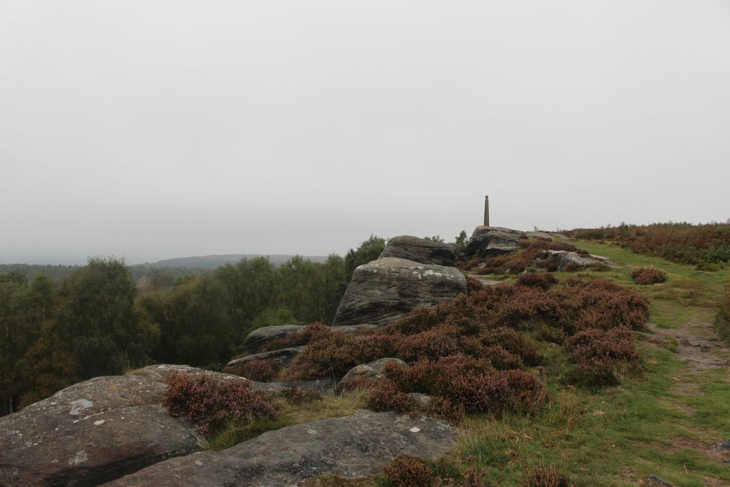
Nelsons monument
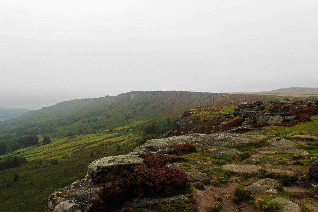
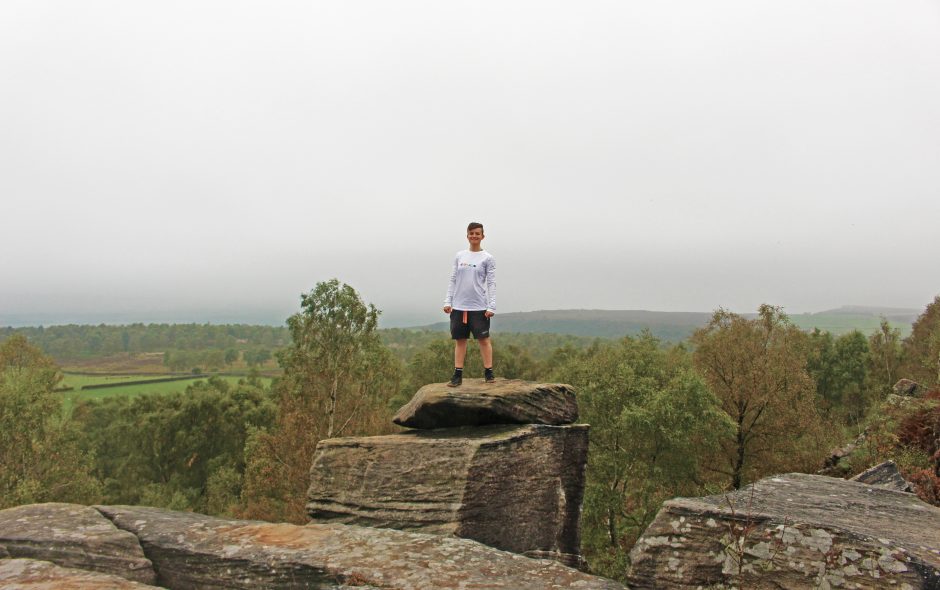
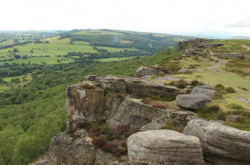
We’d got started later in the day so we paused for lunch at the monument before continuing along and then dropping down onto the path that runs under Birchen edge. A little before coming back in line with the north end of Birchen edge the path forked. The fork is unclear, but there’s a path that leads off through the bracken in a more north easterly direction towards Gardom’s edge. The terrain turned into lightly forested heathland as we crossed over to Gardom’s edge and then back into forest when we reached it. The views from Gardom’s edge across the valley to Baslow edge were great, with the rocky forest along the edge lending an etheral feel to the place.
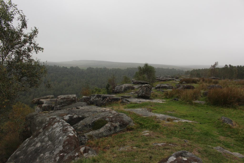
Coming down of Gardom’s edge we made our way down towards the A621 where we crossed over and followed the path up to Baslow edge. We wanted to walk along Baslow edge itself towards Curbar, then almost double back on ourselves to follow the path that’s set back from the edge. As we came up onto Baslow edge the Eagle stone came into view, which is an imposing lump of rock standing solitary away from anything else. Curbar edge emerged from the cloud layer ahead of us as we continued walking. Before reaching the road, we crossed over to the path set back from the edge and headed back to Eagle stone.
Just past the Eagle stone another monument sits just off the path. This one doesn’t seem to be named anywhere and appears to be a war memorial of some description, a large gritstone cross looking out over the trees. From here it was just an easy 1.5km along a farm track back to the crossroads and the cars.
A lovely walk with very pleasant scenery and lots of interesting things to see along the way.
Thank you for reading! Be sure to check out my other hike write ups if you need more ideas for days out!
Find me in these social places

Enjoyed reading this, very good stuff, thankyou .
Thanks a lot for this particular tips I has been exploring all Google to discover it!